
New Orleans ZIP Coverage
Standard delivery zones form the useful core of a New Orleans ZIP code directory. They group addresses for mail, not for city government. One code may span several familiar areas, and a neighborhood can cross a postal line. The table gives broad search context rather than a block-by-block boundary. Use the named area to choose a likely code, then check one location with the official USPS address tool.
| ZIP | Areas covered | Post-office role | Notes |
|---|---|---|---|
| 70112, 70113 | Downtown, CBD, Central City and nearby Lower Garden District blocks | Standard central delivery | Confirm at street level where the codes meet. |
| 70114, 70131 | Algiers and the West Bank, including English Turn context | Standard delivery | Keep the river side and parcel jurisdiction. |
| 70115, 70118, 70125 | Uptown, Garden District, Carrollton, West Uptown and Broadmoor | Standard delivery | Neighborhood names overlap codes. |
| 70116, 70117 | French Quarter, Marigny, Bywater and nearby riverfront areas | Standard delivery | Historic names and postal lines differ. |
| 70119, 70122, 70124, 70126 | Mid-City, 7th Ward, Gentilly, Lake Terrace, Lakeview and Lakeshore | Standard delivery | Use City GIS when the parcel matters. |
| 70127, 70128, 70129 | New Orleans East through the far-east and Lake Catherine side | Standard delivery | City and postal edges may diverge. |
| 70130 | CBD, Warehouse District and Convention riverfront | Standard delivery | Check the block against 70112 and 70113. |
The wider research set also contains special New Orleans-associated codes. Codes such as 70139, 70141, 70142, 70143, 70148, 70160, 70170, 70190 and 70195 serve unique, institutional, agency, or post-office uses. They do not describe ordinary residential neighborhoods. Treat them as mail routes that need exact-address verification.
New Orleans Postal Code Types
Each type in the New Orleans ZIP code directory answers a different question. A standard code routes street delivery across a broad area. A special code may route mail for boxes, an agency, or one large institution without drawing a residential district. ZIP+4 identifies a smaller delivery segment. Carrier routes organize a postal carrier's work and can cross neighborhood labels.
- ZIP code
- A five-digit USPS delivery code, not a city or parish boundary.
- ZIP+4
- Four added digits that narrow mail to a route segment, building, or recipient group.
- PO-box ZIP
- A code tied mainly to post-office boxes rather than street delivery.
- Unique ZIP
- A code assigned to one major institution, agency, or high-volume recipient.
- Carrier route
- A set of delivery points assigned to a postal carrier, not a resident roll.
Knowing the type stops a false inference. A name tied to a unique code may reflect mail handling only. It does not place that person on a New Orleans block.
Verify New Orleans ZIP Addresses
The USPS ZIP Code Lookup checks an exact address, lists codes for a city and state, or returns city names linked to a code. For data work, the USPS City State Product is the authoritative monthly association file. The captured product screen shows why postal data should lead a delivery check.
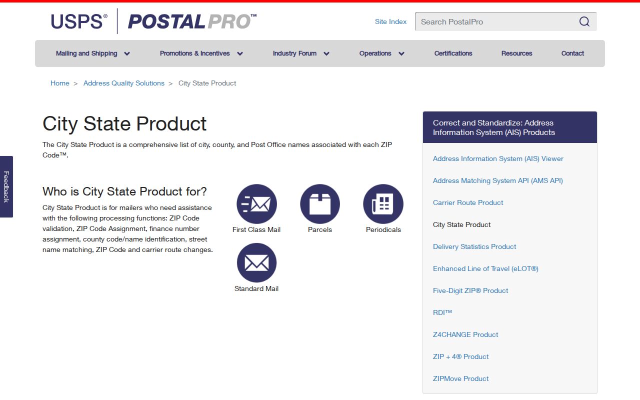
Use the standardized city and ZIP exactly as returned. Then check the parcel in City GIS, since the postal city does not establish the governing parish. This two-source test is more sound than choosing a code from a neighborhood nickname.
New Orleans ZIP Map Layers
The City's ZIP GIS layer publishes a ZCTA field and query tools for map reference. The captured service view shows the layer used to draw New Orleans ZIP geography.
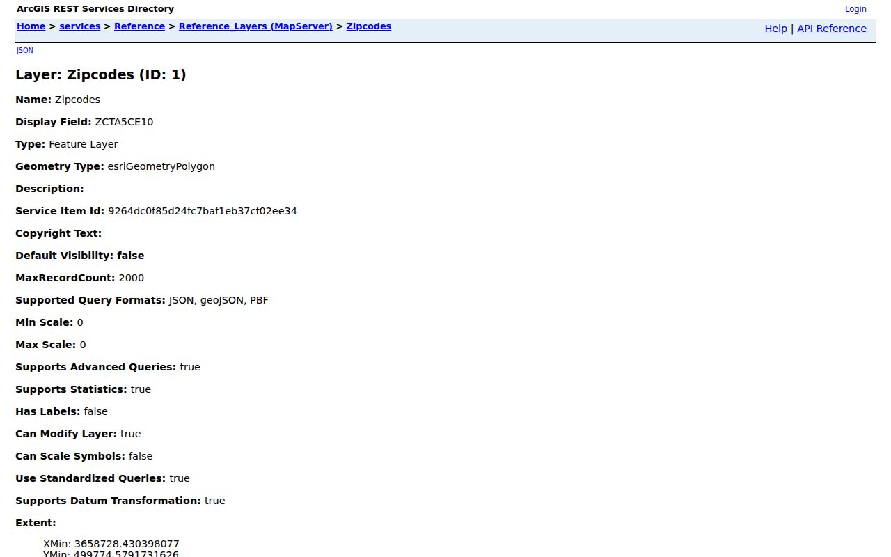
A ZCTA is a Census statistical shape built to resemble postal coverage. USPS assigns mail delivery, while City GIS maps local reference polygons. Those shapes may look alike without being legally or operationally identical. Use ZCTA data for area statistics, the City layer for map context, USPS for delivery, and the Assessor for parcel jurisdiction.
The NOLA Ready community profile adds neighborhood and city context without turning postal zones into civic borders. Its profile view explains why the river, lake, West Bank and New Orleans East matter on a broad ZIP map.
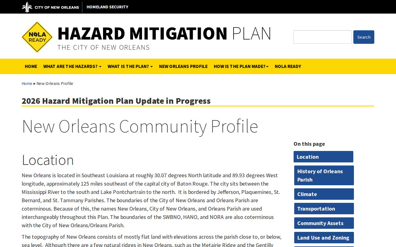
That wider frame helps after a code is verified, especially when one neighborhood label spans more than one delivery zone.
Find New Orleans Residents by ZIP
Official sources do not offer one open list of all people in a New Orleans code. The voter portal uses ZIP as a required field for a known voter or exact address. Property systems display mailing codes, but their main search boxes are not ZIP-wide resident browsers. The sound method narrows one person or address, then confirms the record type.
- Verify the five-digit code for the exact address through USPS and record the postal city.
- Place the address in City GIS and save its GeoPIN to confirm the parcel and parish.
- Use the voter portal with a known name, birth month and year, and ZIP, or its exact-address form.
- Compare the hit with another dated source. An owner, mail recipient, and voter are different evidence.
- Ask the Assessor or Secretary of State about lawful data requests when a broader set is needed.
Once the code yields a street, the New Orleans street directory explains the address-keyed chain without treating a postal zone as one household list.
ZIP Fields in New Orleans Lookups
The Louisiana Voter Portal has the clearest official ZIP input. Its name search needs a five-digit ZIP plus birth month and year. Its address route asks for ZIP first, then street address, city, and optional unit. A no-record response is not proof that the person never registered, since spelling, date, status, and location can change.
| Official field | Input | How it works |
|---|---|---|
| First / Last Name | Required text | Paired with ZIP and birth month/year. |
| Zip Code | Required five digits | Accepts five digits, not ZIP+4. |
| Birth Month/Year | Required mm/yyyy | Narrows the name search. |
| Address | Required on address route | Autocomplete begins after several characters. |
| Apt/Lot | Optional text | Separates units at one address. |
| City | Required selection | Options are populated from the ZIP. |
Property Viewer takes an address, owner name, or tax-bill number. It publishes mailing ZIP5 and ZIP+4 on a result, but does not advertise a top-level ZIP-only query. One Stop likewise searches a house number and street, not a whole postal zone.
Special New Orleans ZIP Codes
Special codes make a ZIP code directory look larger than its residential reach. The state health appendix includes many 701-series codes associated with New Orleans, while the City GIS list focuses on physical local areas. Both can be right because they answer different questions. The appendix is a postal and health-data set. The map is a local geographic reference.
For example, 70142 is tied to Station A Algiers, and 70143 is associated with the main postal facility. The code 70160 appears in the mailing address for Louisiana Vital Records. Codes 70170, 70190, and 70195 have unique or main-office associations. None should be assigned a neighborhood population without a source that says it has street delivery.
Note: A special ZIP may identify a mail route or institution even when no ordinary residential parcel falls inside it.
New Orleans ZIPs and City Limits
The strongest boundary warning involves 70121 and 70123. Parts of Jefferson Parish in the River Ridge, Harahan, and Elmwood context may use New Orleans as a postal city. That label does not move the address into New Orleans or Orleans Parish. A search sent to the Orleans Assessor, Registrar, or Civil Clerk may fail because another parish office holds the record.
Boundary check. Match the USPS delivery result to the City Property Viewer or parish assessor before choosing a records office.
New Orleans and Orleans Parish are otherwise coterminous, which makes a confirmed city parcel easier to route. Yet a postal directory cannot replace a parcel boundary. Keep the USPS result, GeoPIN, political parish, and source date together. Each field resolves a separate part of the location.
Older New Orleans Addresses Before ZIPs
Do not apply a current ZIP to an old New Orleans record as though it existed at the time. ZIP codes are a modern postal layer. For a pre-1963 address, begin with the city directory, census, Sanborn maps, and City Archives street-name and street-number indexes. The present number system dates to the early 1890s, and the change indexes cover 1852 through 1938 without promising an exact building conversion.
Old faubourg, ward, district, cross-street, and municipal labels can be more useful than a modern code. Preserve the deed's legal description and the parcel's lot and square. Then compare the historical address with modern GIS. This prevents a ZIP-based guess from shifting a person to the wrong block.
Complete New Orleans ZIP Check
A sound New Orleans postal result can be reproduced. It identifies the delivery code, parcel jurisdiction, and source that connects a name with a place. Before saving a result, check the evidence in a set order.
- Confirm the exact address and five-digit delivery code with USPS.
- Mark whether the code is standard, PO-box, or unique.
- Confirm Orleans Parish through City GIS and save the GeoPIN.
- Record whether a name came from an owner field, voter record, or mailing field.
- Note the source date and never treat a postal zone as a household roster.
The result is narrower than a commercial compilation, but it is easier to audit. Official postal, parcel, and voter sources each state what they record and where their limits begin.