
Sources for New Orleans Neighbors
Public records describe parts of a New Orleans block, but no official source names every person in every home. Parcel maps identify land and owners. The assessment roll supplies site and mailing fields. One Stop records work tied to an address. The voter portal can return available voters at one exact address. Community maps identify an association and its public contact, not its members. Read each source for what it actually proves.
| Source | What it shows about a block | Access |
|---|---|---|
| City Property Viewer | Adjacent parcels, site address, owner fields, lot, square, GeoPIN and use | Free, weekly GIS display; click parcels above zoom 15 |
| LandBase Parcels | Parcel geometry and queryable GeoPIN layer | Free identify, find and query service |
| City One Stop | Permit, project, license and violation history at an address | Free, 2007-present, with export |
| Louisiana Voter Portal | Available registered voters at one exact address | Free exact-address search; protected fields omitted |
| Neighborhood Organizations GIS | Self-reported boundary, organization, contact and email | Free current map layer; no member list |
| Criss-cross directories | Past people or firms keyed to an address | Library and archive access; local address sections begin in 1932 |
An owner may live elsewhere, and the owner field may name a trust or firm. A permit applicant is tied to work, not necessarily to the household. A voter entry reflects registration at a point in time. Those distinctions keep a search for New Orleans neighbors accurate.
Map New Orleans Neighbors by Parcel
The City Property Viewer supports a careful parcel-by-parcel method. Start from a known address and work only through parcels that actually touch the lot or face the same short block. The Property GIS service below exposes the fields behind that view.
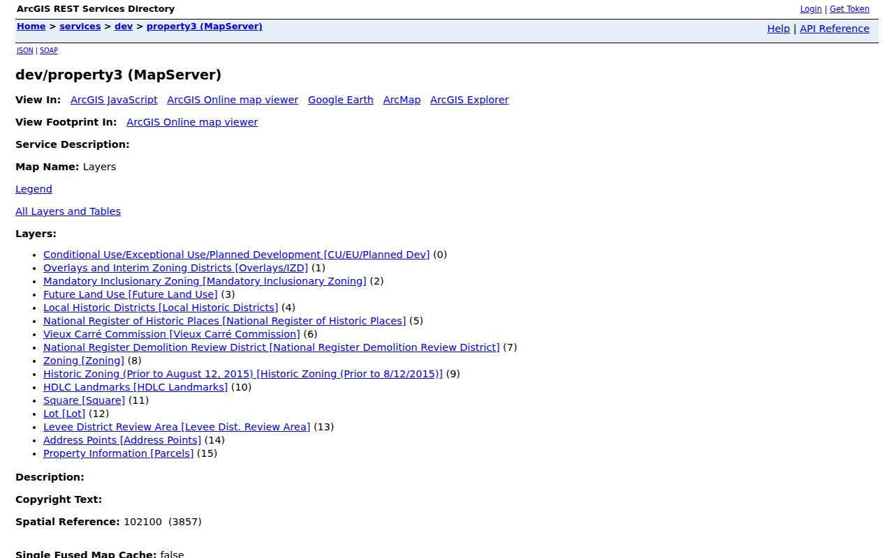
Keep the same fields for every parcel so the block table remains comparable. The viewer's chain icon saves a reproducible GeoPIN link. Its measure tool helps define frontage, but measurements are not survey grade.
- Find the known address and save the GeoPIN deep link.
- Zoom above 15, then click each touching or directly facing parcel.
- Record site address, GeoPIN or PARID, lot, square, owner field, use and source date.
- Compare site and mailing fields without treating a private mailing destination as a block address.
- Use zoning, historic, neighborhood, precinct and service layers only as geographic context.
For a full named-street chain, move from the immediate block to the New Orleans street directory. That keeps this neighbors search focused on the short radius around one address.
New Orleans Block Layers
Where Y'At and the City GIS layer catalog can add a neighborhood statistical area, self-reported organization, voting precinct, police and fire service area, zoning, historic district, lot, and square. Those polygons answer which public district covers a point. They do not identify all people inside the shape.
The public parcel service has a maximum record count of 1,000. Any larger query needs pagination and an update-date check. A small parcel table is safer than claiming a radius search is complete. Save one row per parcel, not one row per person, and label the owner field as ownership evidence.
Note: City GIS updates parcel data weekly, but its own map and measurements do not replace a recorded survey or deed.
New Orleans Block Work Records
The One Stop search help explains how to find permits, licenses, planning projects, violations, and work orders by address. Its captured help screen shows the filing-date, record-type, sorting, and export controls available for a New Orleans block search.
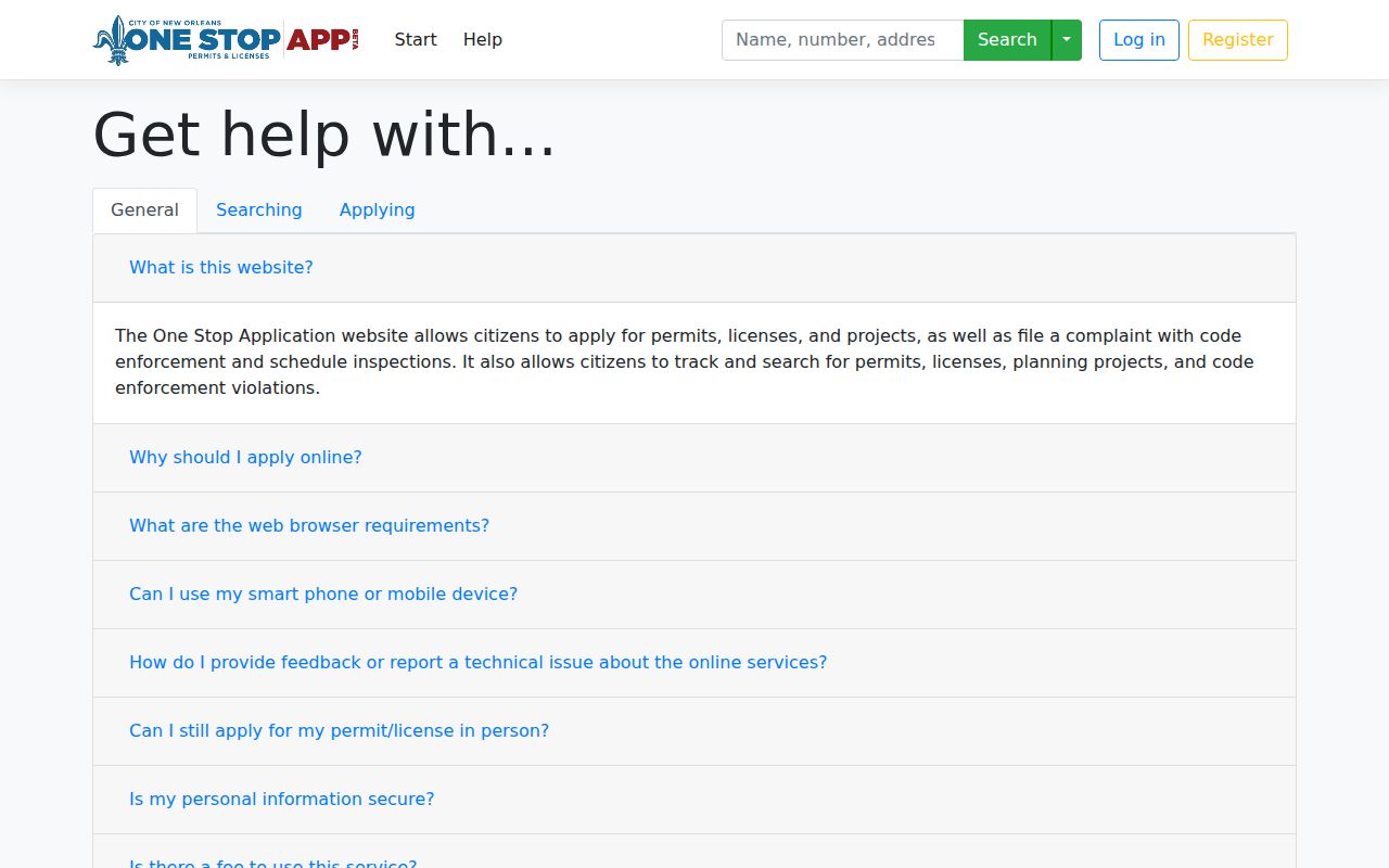
Enter the house number and street without city, state, or ZIP. Results cover 2007 to the present and may identify an applicant, business, contractor, filing date, description, or reference code. Export can help compare several addresses. The result documents an application or work event, not who lives there.
The historical tax-bill search adds yearly ownership and account context for 2008 through 2026. The captured search page shows its name, assessed-location, and tax-bill routes.
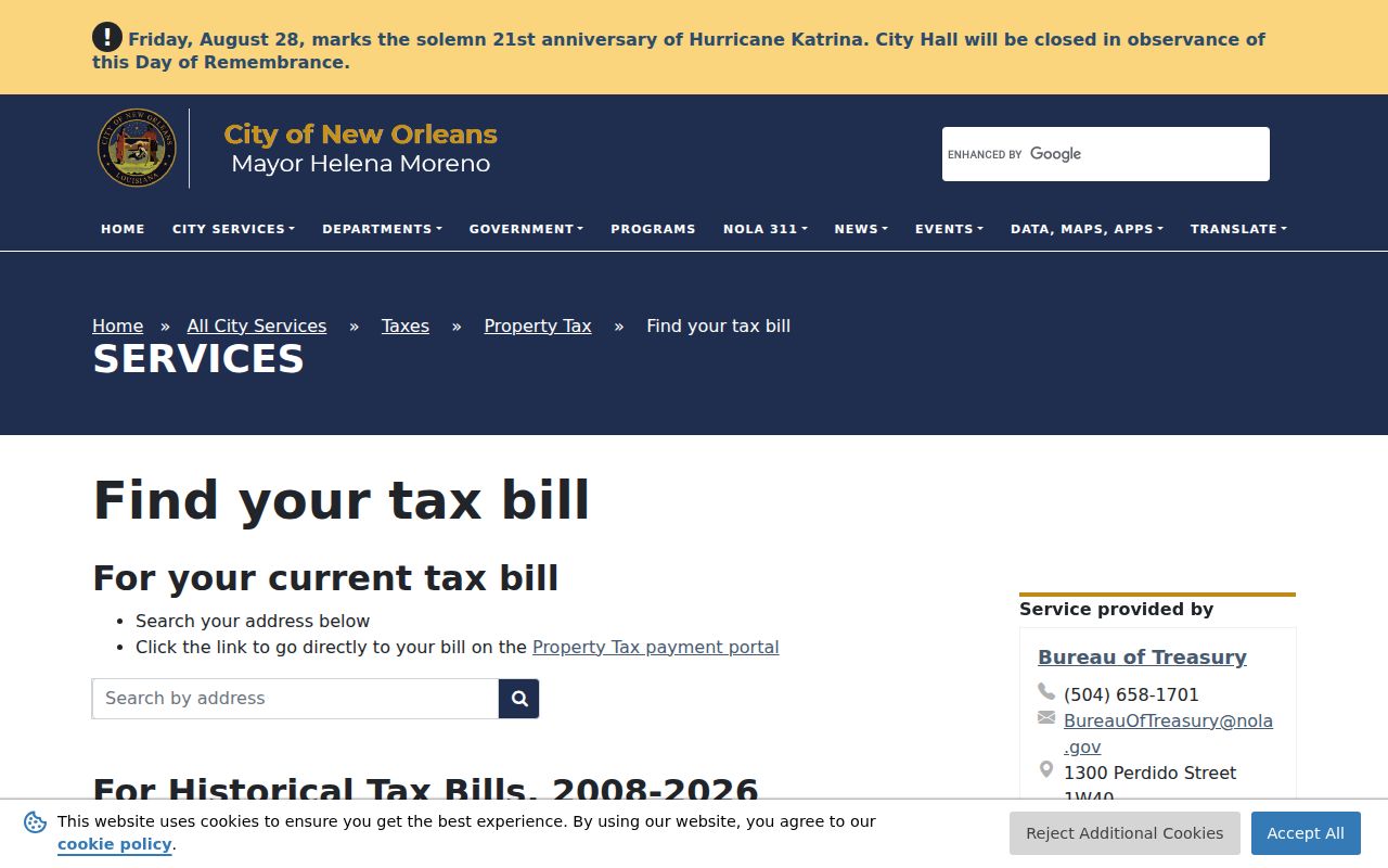
Compare the assessed location with the parcel card before attaching a tax owner to the block. A name on a bill still does not establish every occupant.
Voter Records for New Orleans Neighbors
The Louisiana Voter Portal searches one address at a time. It asks for a five-digit ZIP, an autocomplete street address, a city chosen from the ZIP, and an optional apartment or lot. The portal says it returns available voters at that address. It is not a public block-wide button, and the privacy disclaimer says voter and address records are separated for protection.
Louisiana law permits inspection of many registration fields while withholding Social Security numbers, driver's-license numbers, email, full birth dates, protected-voter details, and Address Confidentiality Program addresses. A paid voter-list request can use lawful criteria and districts, but it is not a casual household roster. The Orleans Registrar can explain access, correct a mismatch, or address protected status.
The official registrar directory lists both the East Bank office at City Hall and the Algiers Courthouse office. Its captured listing provides the correct local route when an online address search is unclear.
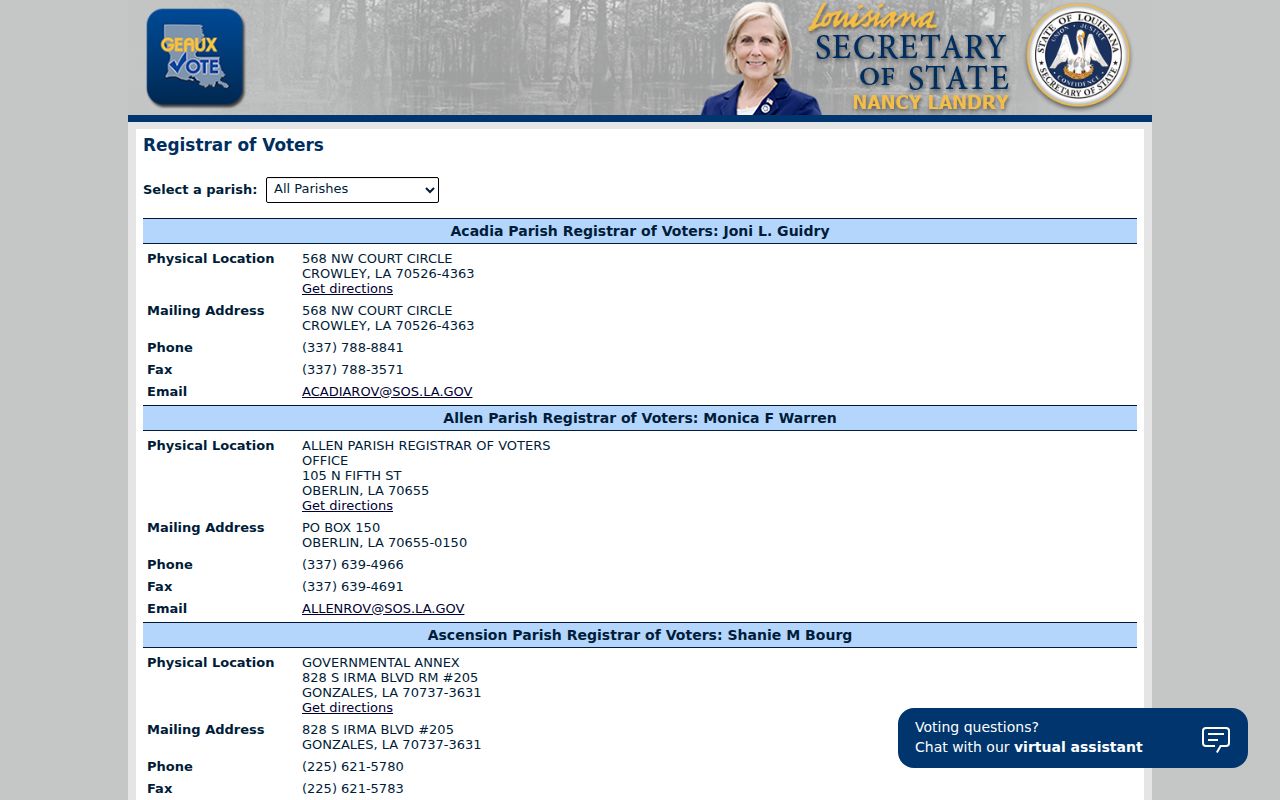
Both Orleans locations use the Registrar's published phone and office channels. Bring the exact address format and the date of the online search when asking about a result.
New Orleans Neighborhood Association Map
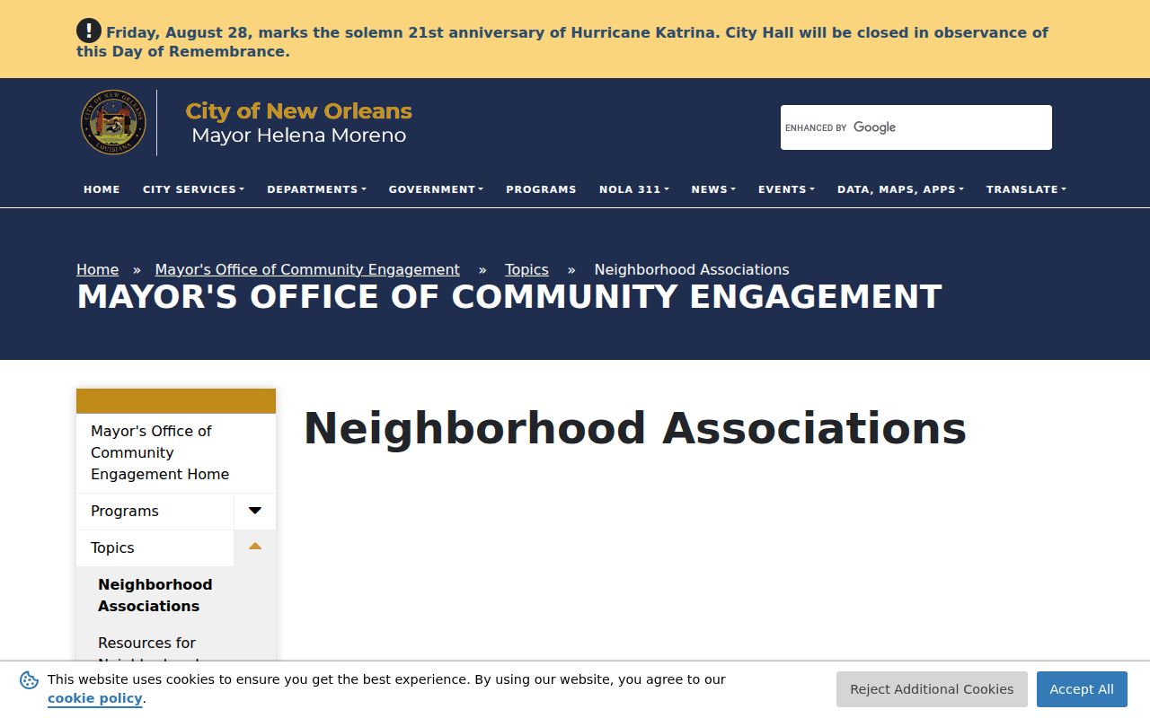
The Mayor's Neighborhood Engagement Office recognizes resident-formed groups for defined areas. A group submits its name and boundaries, the president's contact details, and related information. It must hold at least one general membership meeting each year and invite its liaison. Verification is renewed every two years, so the live source is better than an old static list.
The Self Reported Neighborhood Organizations layer contains organization name, boundaries, point of contact, and email fields. The service screen below is the direct geographic route from one parcel to a public association contact.
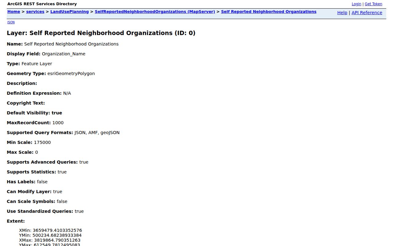
A polygon can overlap the everyday name residents use for an area. Search the known parcel, note the organization shown, then confirm its current contact through the City process. Do not infer that each home in the polygon belongs to the group.
Contact New Orleans Civic Groups
The City neighborhood associations page describes recognition and updates. Its captured page shows where current public contact and boundary information begins.
| Community route | Public information | Limit |
|---|---|---|
| Neighborhood Engagement Office | Recognition process, boundary and leadership updates | Not a roster of residents |
| Organizations GIS layer | Organization, boundary, contact and email fields | Self-reported status may age |
| Together New Orleans | Public meetings and civic issues among member institutions | No universal member directory |
| Public newsletters and minutes | Named officers, speakers and public events | Attendance does not prove residence |
City materials name civic areas such as Bywater, Faubourg Marigny, East New Orleans, Gentilly, Broadmoor, Lakeview, Mid-City, Garden District, and Algiers. Exact recognition and boundaries should still come from the current map. Congregation, block-watch, and club rosters are normally private or controlled by the group.
Official New Orleans Block Evidence
Official records and commercial neighbor tools have different strengths. A compilation may appear to join many names quickly, yet it can mix old addresses, relatives, owners, and unrelated people. Source-based research takes more steps but makes each claim easier to test.
| Question | Official source | Commercial category |
|---|---|---|
| Which parcel touches this one? | City GIS geometry and GeoPIN | May use an unexplained map radius |
| Who owns the parcel? | Assessor owner field and recorded act | May merge old owner data |
| Who is registered at one address? | Voter portal with protected fields withheld | May blend residents and relatives |
| Which civic group covers the point? | City association boundary layer | May use a broad neighborhood name |
Use the official roll as evidence of its own category. Compare two dated sources before making contact. Never infer a household solely from adjacency or a name that appears in a compiled report.
Privacy for New Orleans Neighbors
Protected voters, Address Confidentiality Program participants, minors, victims, unlisted households, renters, and utility customers may be absent from public sources. A parcel card can show an owner whose mailing address is outside the block. A business or trust may appear instead of a person. None of those gaps should be filled by guesswork.
Lawful use. Search New Orleans neighbors for civic, family, property, or personal-safety reasons. Never use records to watch, threaten, harass, or harm someone.
Louisiana's Address Confidentiality Program gives qualifying survivors a substitute address and keeps participant names and physical addresses confidential. The voter portal also omits protected fields. Do not contact a person based only on a map relationship. If a source conflicts with another, note both dates and ask the custodian rather than publishing an unsupported claim.